Mount Bromo — The Most Popular Natural Tourism Destination in East Java
Mount Bromo is an active volcano located in the Bromo Tengger Semeru National Park (TNBTS), East Java, Indonesia. With a height of 2,329 meters above sea level, Bromo is part of the Tengger massif which also includes Mount Batok (2,440 meters above sea level) and Mount Semeru (3,676 meters above sea level) — the highest peaks on the island of Java. Administratively, the Bromo area stretches across four districts: Probolinggo, Pasuruan, Lumajang and Malang. The name "Bromo" comes from Old Javanese which refers to the God Brahma, the creator god in Hindu tradition.
Bromo is known as one of the most popular natural tourist destinations in Indonesia. Every year, hundreds of thousands of domestic and foreign tourists visit this area to watch the panoramic sunrise, explore the sea of volcanic sand, and climb to the active crater that still emits sulfuric smoke.
Sunrise in Penanjakan — The Best Sunrise View in Indonesia
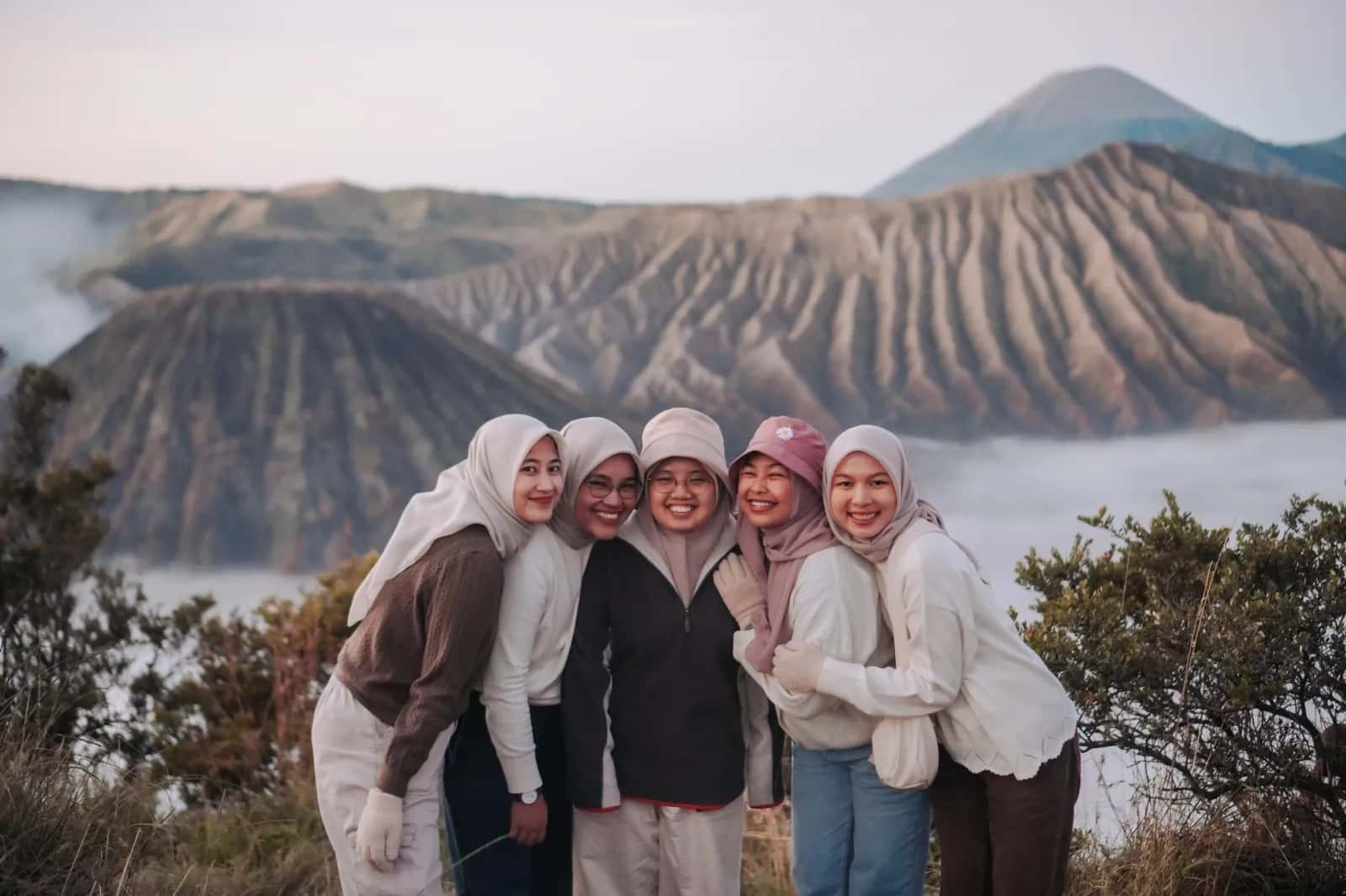
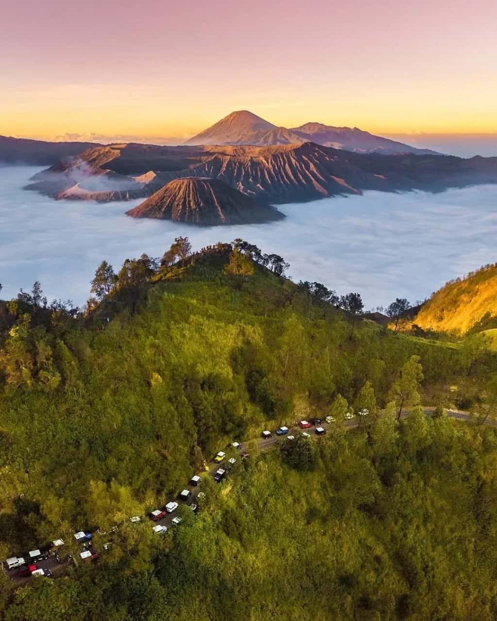
The main tourist attraction of Mount Bromo issunrise from Penanjakan Hill(Climb 1) at an altitude of 2,770 meters above sea level. This viewpoint offers a 360 degree panorama that shows the sun rising behind the silhouettes of Mount Bromo, Mount Batok and Mount Semeru simultaneously. The sky turns into stunning shades of gold, orange and pink — making it one of the best sunrise spots in Southeast Asia.
To catch the golden hour moment, tourists usually leave the accommodation at around 02.30–03.30 in the morning using 4x4 jeeps. Apart from Penanjakan 1, there are also alternative viewpoints such as Penanjakan 2 (King Kong Hill), Bukit Cinta, and Seruni Point, each of which offers a different perspective on the Tengger caldera.
Tengger Sand Sea — The Largest Volcanic Caldera in Java
Tengger Caldera or what is known asSea of Sandis a volcanic sand plain covering an area of approximately 5,250 hectares that surrounds Mount Bromo and Mount Batok. This stretch of grayish black sand creates a landscape that resembles the surface of the moon, making it one of the most unique geological phenomena in Indonesia.
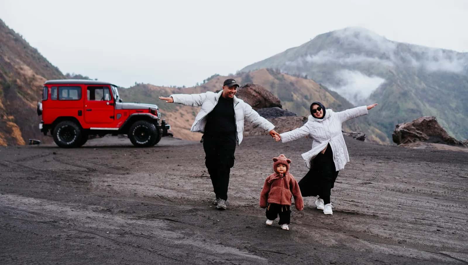
Tourists usually cross the Sea of Sand using 4x4 jeeps from the Penanjakan parking area to the foot of Mount Bromo. Another alternative is horse riding — horse rental services are available around the Cemoro Lawang and Lautan Pasir areas. The experience of crossing a stretch of volcanic sand with a backdrop of towering mountains is a very popular moment for landscape photography.
Mount Bromo Crater — Hike to the Rim of an Active Volcano
Climbing towardsMount Bromo Craterstarting from the foot of the mountain and reached via 250 concrete steps. The starting point for the climb can be accessed from Pura Luhur Poten which is at the bottom of the Sea of Sand. The journey up takes about 20–30 minutes at a leisurely pace.
From the crater rim, tourists can see directly into the crater with a diameter of around 800 meters and a depth of approximately 200 meters. The clouds of white sulfur smoke that continue to rise from the bottom of the crater are a reminder that Mount Bromo is still an active volcano. The last eruption was recorded in 2016, and the status of volcanic activity is regularly monitored by the Center for Volcanology and Geological Disaster Mitigation (PVMBG).
Tengger Tribe Culture and Yadnya Kasada Ceremony
The Bromo area is a traditional territoryTengger tribe, a community of Javanese Hindus who have inhabited the mountain slopes around the caldera for centuries. The Tengger tribe is known to maintain unique local traditions and wisdom, different from Javanese society in general.
Every year in the month of Kasada (Tengger calendar), the Tengger community organizesYadnya Kasada ceremony— a religious ritual in which offerings in the form of agricultural products, livestock and money are thrown into the Bromo crater as offerings to Sang Hyang Widhi and God Brahma. This ceremony has been recognized as Indonesia's intangible cultural heritage and is a unique cultural tourist attraction.
Location, Access and Best Time to Visit Bromo
Mount Bromo is located in Bromo Tengger Semeru National Park, East Java, Indonesia, at coordinates 7°56'30"S 112°57'0"E. From Malang City, the journey to Bromo takes around 2.5 to 3 hours via the Malang–Tumpang–Gubugklakah–Cemoro Lawang route. Alternative routes are available from Probolinggo (around 1.5 hours) and Pasuruan (around 2 hours). The nearest airports are Abdul Rachman Saleh Airport in Malang and Juanda Airport in Surabaya.
The best time to visit Mount Bromo is in the dry season between April and October, when the weather tends to be sunny and the chance of getting a clear view of the sunrise is higher. Temperatures in the Bromo area range from 3°C to 20°C, so thick jackets, gloves and layered clothing are highly recommended equipment. During the rainy season (November–March), thick fog and slippery roads can reduce visibility and accessibility.
Mount Bromo Travel Tips
Leave early in the morning, around 02.30–03.30 WIB, to arrive at the Penanjakan viewpoint before sunrise.
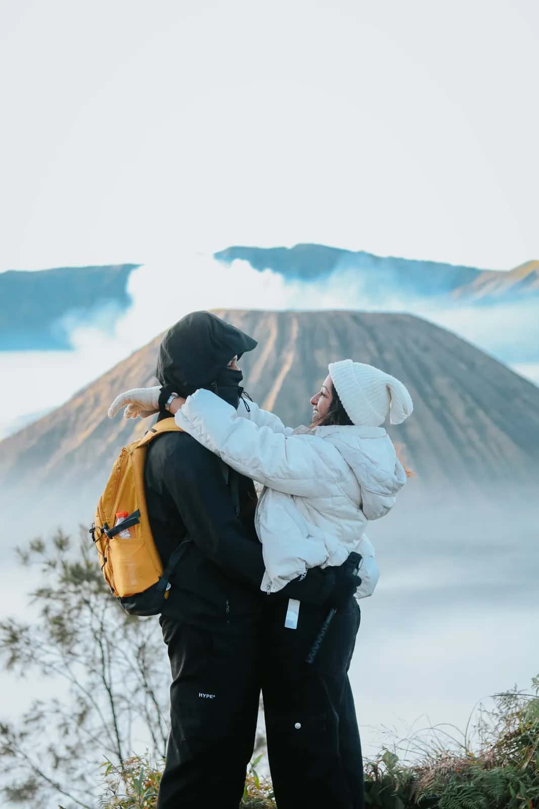
Wear layers and thick jacketsbecause the temperature can drop to 3°C in the early morning.
Bring a mask or buffto protect breathing from volcanic sand dust and sulfur smoke in the crater.
Make sure the camera and phone are fully chargedbecause the views at Bromo are worth immortalizing from every angle.
Use the services of a trusted travel agentso that your trip is safe, comfortable, and all logistics are handled.
Explore Mount Bromo with Enthusiast Picnic
Piknik Enthusiast is a trusted travel agent based in Malang, East Java, and provides Mount Bromo tour packages with a choice ofopen tripnorprivate trip. All packages include 4x4 jeep transportation, an experienced guide, and accommodation of your choice. Just order, we'll arrange everything —Easy Trips, Unforgettable Moments!